top of page

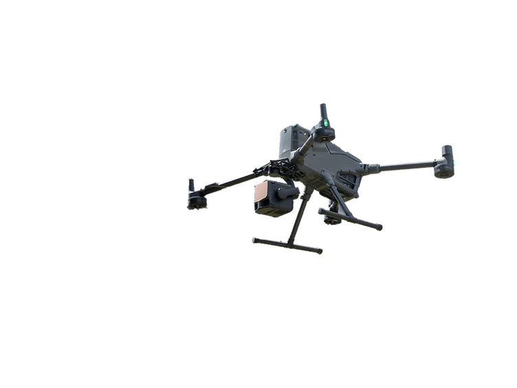
Precision aerial LiDAR mapping with centimeter-level accuracy for engineering and geospatial applications.


Up to 400+ acres captured per day — 5–10× faster than traditional field survey methods


U.S.-based operations with international deployment capability.

L3-mountain.png

SECTORS

Topographic & Terrain Mapping

High-density LiDAR used to generate accurate bare-earth models, contours, and elevation data for engineering and land development.

zion_DEM2.jpg

Utility & Corridor Mapping

Precise LiDAR mapping of linear infrastructure such as powerlines, pipelines, and road corridors over long distances.

power lines.png

Survey Support & As-Built Mapping

Survey-grade LiDAR data collected and delivered for integration into licensed surveyor workflows and final certification.

Residential Area Overview

Forestry & Vegetation

Multi-return LiDAR penetration through canopy to measure ground elevation, canopy height, and vegetation structure.

Image by Boudhayan Bardhan

Floodplain & Drainage Modeling

High-resolution terrain data used to analyze water flow, flood risk, and stormwater behavior in flat or complex terrain.

3D Terrain Mesh

Construction & Earthwork Analysis

LiDAR-based site mapping for cut/fill volumes, progress tracking, and pre-construction documentation with rapid turnaround.

Pipe laying

Tell us about your project!
Share your location, project size, timeline, and required deliverables, and we’ll respond with availability and next steps.

bottom of page